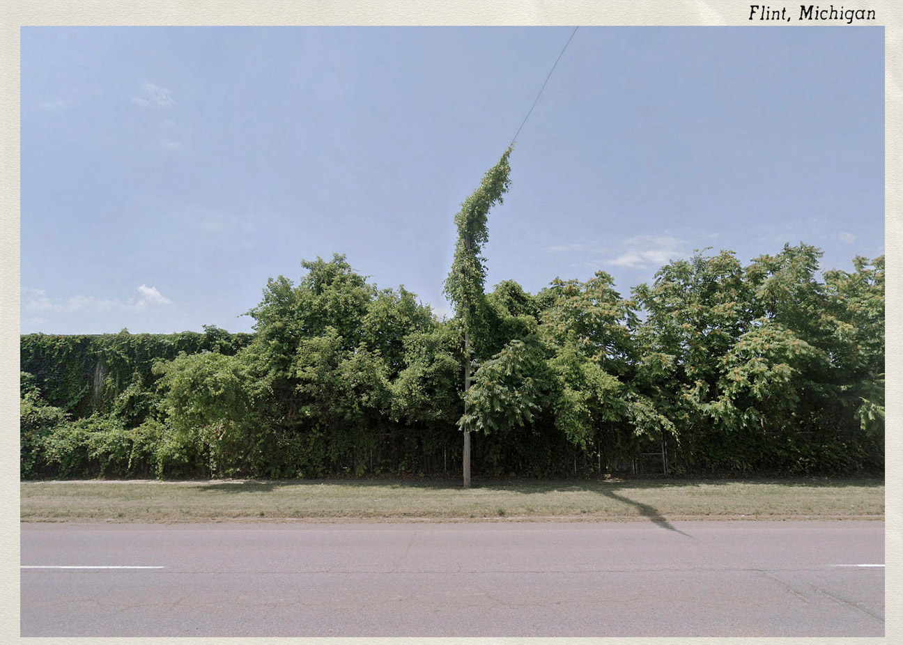
Once the initial confusion of Covid lockdown had passed, I became aware of what I was missing.
Pre-Covid-19, I had regularly undertaken photographic road trips. In 2019, I embarked on a trip around the southwestern part of the USA and, by December, I was already envisioning my next trip to the northeastern USA. The arrival of Covid, however, compelled me to press the pause button.
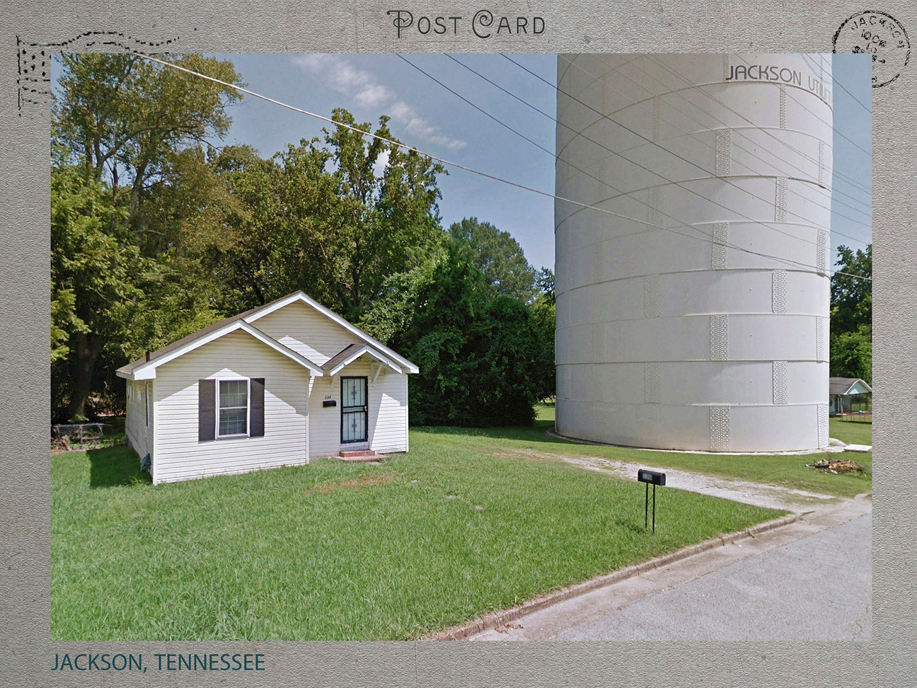
One of my early lockdown, self-assigned tasks was to research my intended trip using Google Earth Pro. After a time, I looked through my reference images and realised that they shared a distinctive mood and feel, not dissimilar to the images that I would have sought, had I actually been there. My process of online ‘looking’ was also comparable.
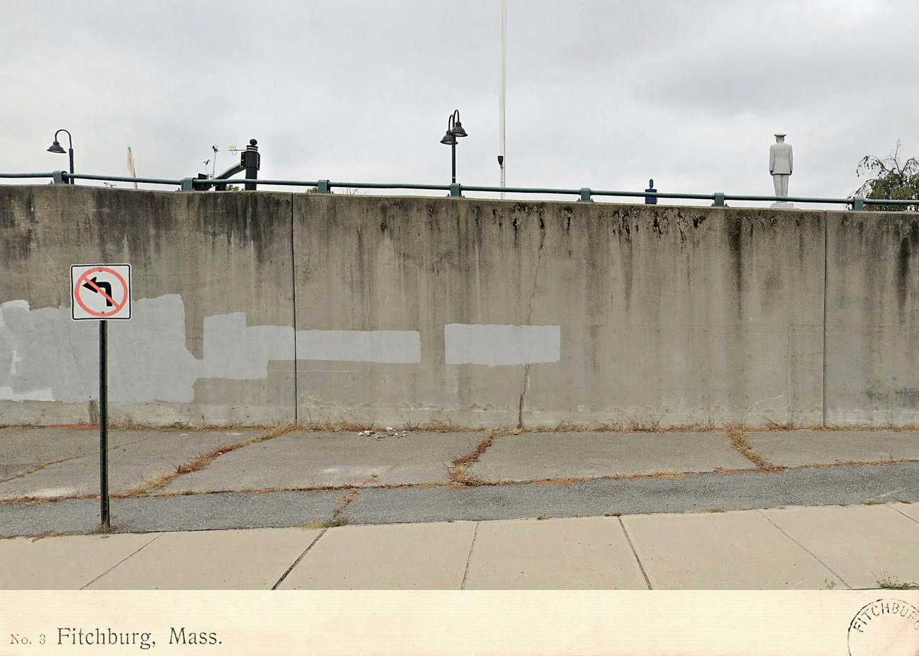
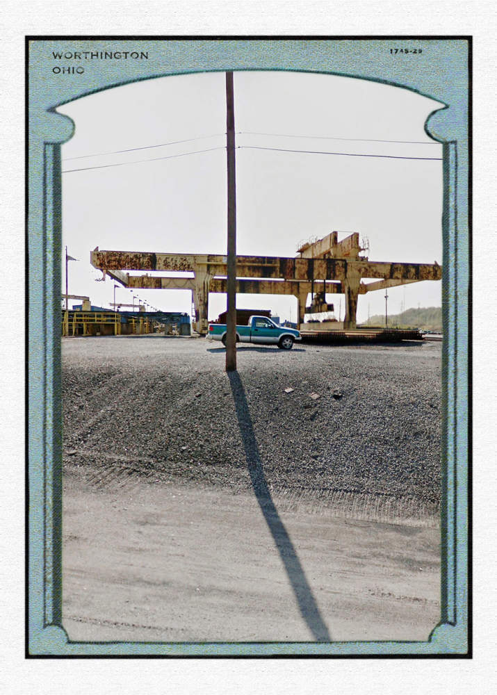
While cyber photographing, I was confronted by very similar obstructions and technical frustrations to those that I experienced during actual photographing. In addition, the Street View images have their own distinct complications;
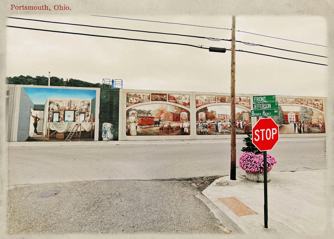
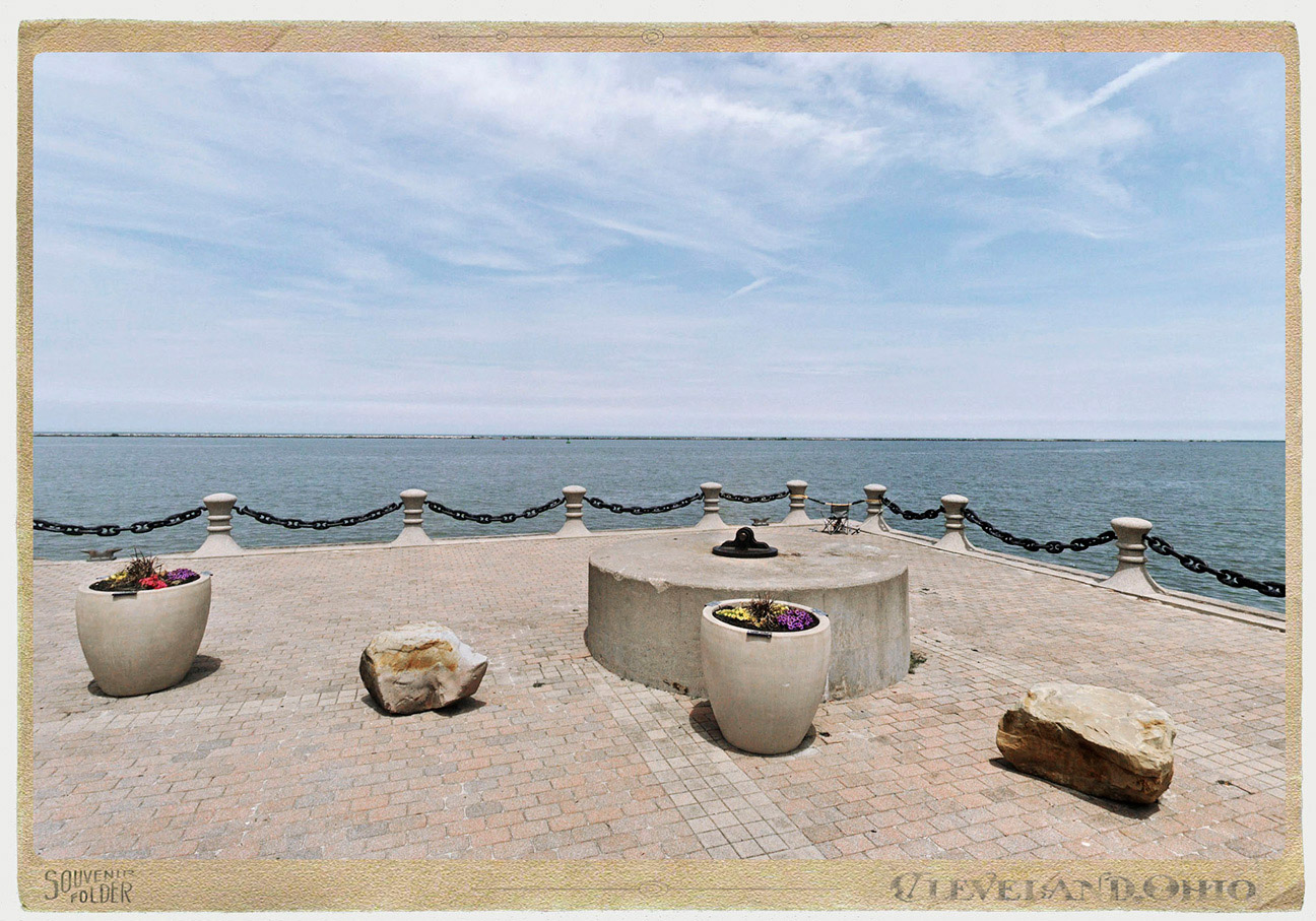
The perceived sequence is actually a series of images electronically stitched together producing lines of pixel disruption. People’s faces are also intentionally blurred. Some of these blemishes, as well as spatial characteristics such as perspective, can be corrected using Photoshop.
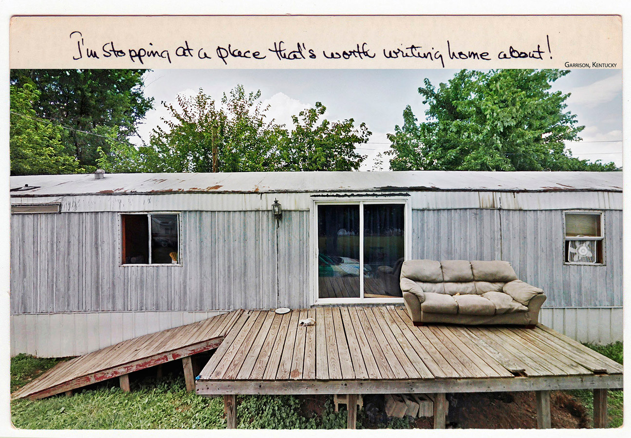
Although I was no longer physically choosing my camera position or clicking the shutter, I still had an array of choices within the 360° Google Earth scenes.
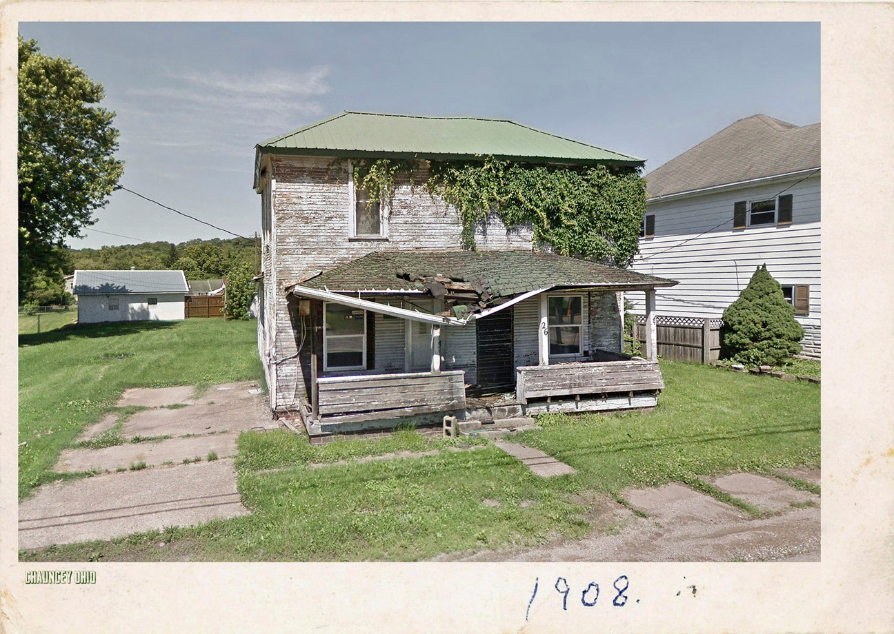
My internet searches would often uncover old postcards from the towns that I was remotely visiting. Not long ago, even the most uninteresting towns in the US seemed to have an attraction from which they created a postcard.
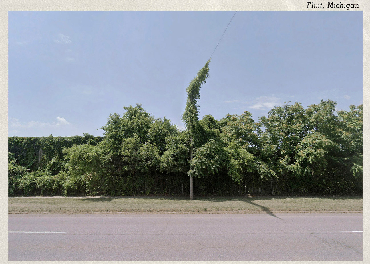
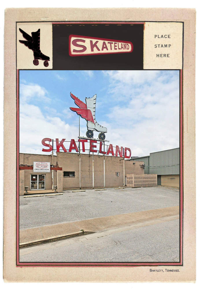
This lost format of presenting images, for me, matches the vernacular imagery that I selected. This postcard essay is ambiguous in its authorship and provenance.
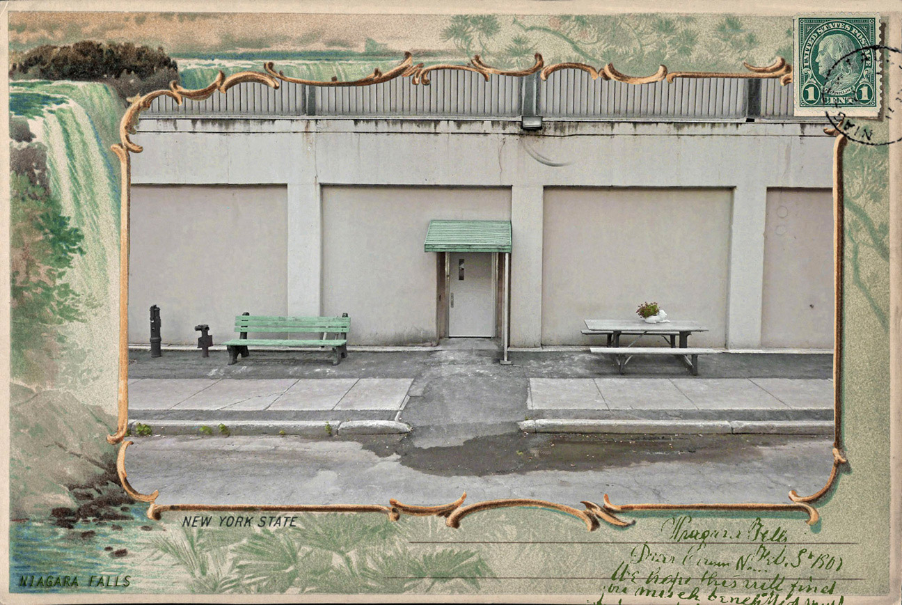
The online imagery is essentially impartial before I impose my choices and amendments upon them. I can therefore claim as my own, the sequence of images and their presentation, but not the images themselves.
Graeme Williams, South Africa, November 2020
